Ol Doinyo Lengai Zones

Ecological Zones

Although smaller in height, Mount Ol Doinyo Lengai still features distinct ecological changes as you ascend:

1. Lower Slopes (1,500–2,000 m)

The base consists of dry savannah, volcanic gravel, and sparse vegetation. Acacia trees, hardy shrubs, and grasses dominate the landscape. Wildlife such as giraffes, antelopes, and zebras may be seen in the surrounding plains.

2. Mid Slopes (2,000–2,600 m)

Vegetation becomes increasingly sparse. The terrain is dominated by loose volcanic ash, lava rocks, and steep ridges. The environment is dry, windy, and exposed, with dramatic views of Lake Natron below.

3. Summit Zone (2,600–2,962 m)

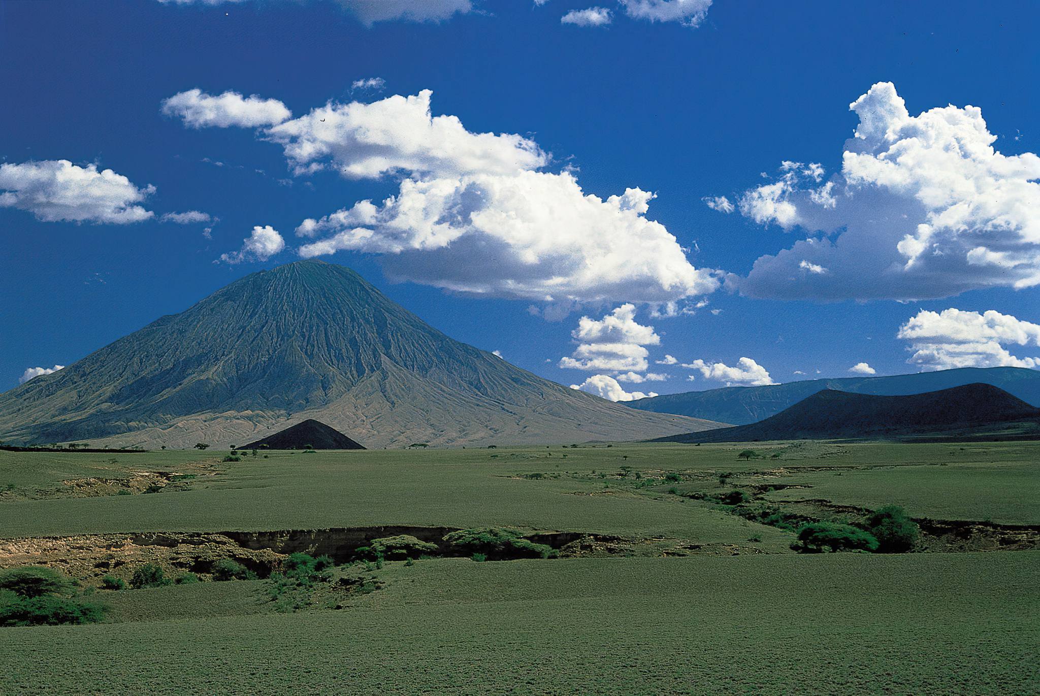
The summit area is barren and rocky, shaped by volcanic activity. Temperatures can drop significantly, especially before sunrise. The crater area reveals lava flows, cones, and panoramic views across the Rift Valley, Lake Natron, and surrounding volcanoes.